Topographical surveys
Our precision topographical surveys will tell you everything you need to know about your site, providing accurate, dependable data on its layout, levels and features, and helping you plan, design and build with confidence.


Precision land surveys
Whether you’re developing a new site or expanding an existing one, we capture every relevant detail with precision and care. By combining traditional know how with innovative ground and aerial surveying techniques, we capture the information you need quickly and efficiently, keeping disruption and costs to a minimum.
How we work
Every project starts with a conversation. Rather than taking a one-size-fits-all approach, we take the time to understand your goals, your site and, perhaps most importantly, how you plan to use the survey data. With that in mind, we design a tailored survey specification that delivers exactly what’s needed as efficiently and as cost-effectively as possible.

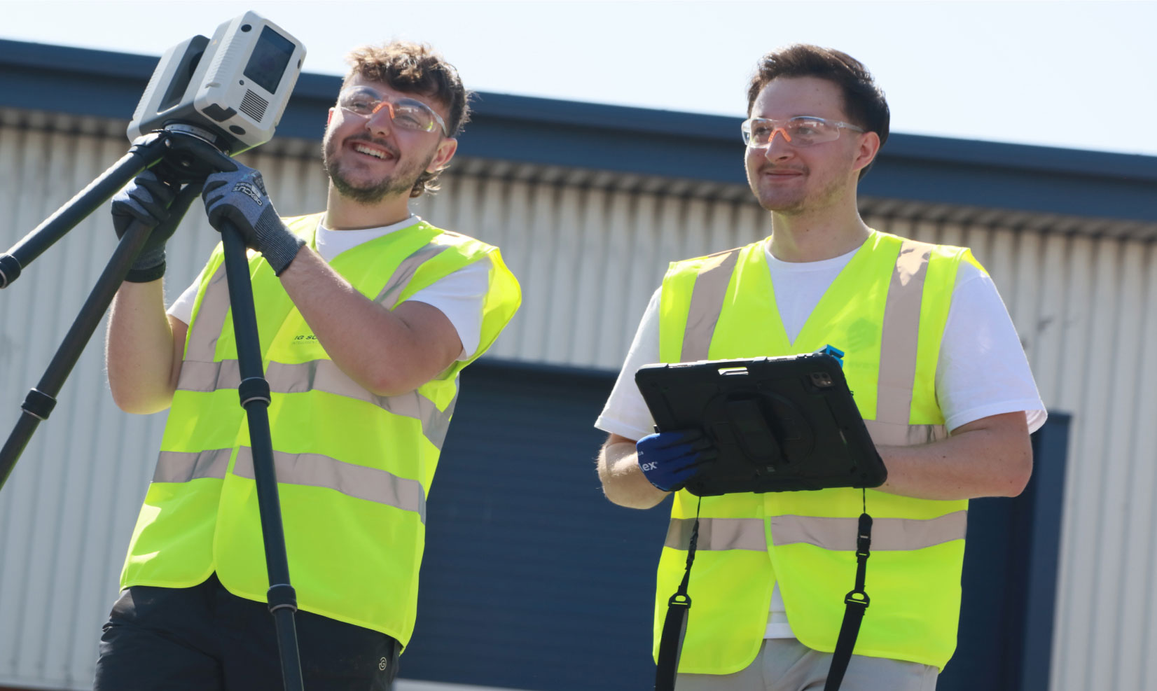
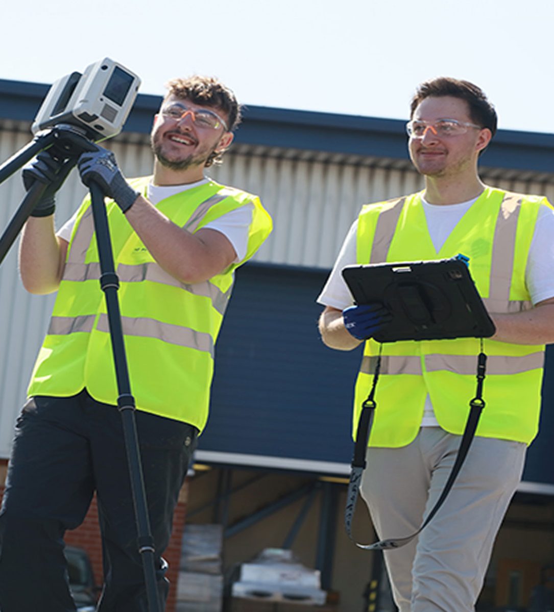
Topographic survey specialists based in Leicestershire

Why choose IG Surveys?
Whether it’s accuracy of our work, the speed of our turnaround or the clarity of our communication, our clients return time after time, safe in the knowledge that the service they receive will be second to none. We combine technical expertise with a practical, down-to-earth approach that makes collaboration straightforward from start to finish.
From open rural spaces to complex built environments, our topographical surveys provide a reliable foundation for your project and the confidence to move forward knowing you have the right information.
Topographical survey deliverables
Our experienced processing team can adapt our deliverables to suit almost any requirement, supplied in your preferred format and fully compatible with all popular CAD and BIM packages…
- 2D topographical drawings
- 3D digital terrain models
- Contour and surface mapping
- Drone-derived orthomosaics and 3D mesh models
- Site control networks


"From the outset, their communication and professionalism were first-class."
The team arrived fully prepared, worked efficiently on site, and delivered the final drawings well within the agreed timescale. The quality and accuracy of the survey data exceeded our expectations, giving us complete confidence in using it as the foundation for our design work. The attention to detail and clarity of the finished drawings have been invaluable to our project team.

Damian Finnie, Head of Technical Specification

The team arrived fully prepared, worked efficiently on site, and delivered the final drawings well within the agreed timescale. The quality and accuracy of the survey data exceeded our expectations, giving us complete confidence in using it as the foundation for our design work. The attention to detail and clarity of the finished drawings have been invaluable to our project team.


FAQs
-
A topographical survey maps the features, levels and boundaries of a site to provide a detailed and accurate picture of the land. It’s essential for architects, engineers and developers as it forms the foundation for design, planning and construction.
-
Absolutely. Our experienced surveyors are equipped to handle large, complex or multi-level sites anywhere in the UK.
-
Yes, we operate nationwide and can carry out topographical surveys anywhere in the UK.
-
Yes, we can integrate aerial drone data with ground survey information to produce enhanced mapping and terrain models.
-
Yes, we provide fully digital topographical drawings in your preferred CAD or BIM format, ensuring easy integration with your existing workflows.
-
Our topographical surveys are carried out to the highest accuracy standards, ensuring data reliability in accordance with RICS standards.
-
We deliver your topographical survey data in CAD, PDF or 3D format, depending on your requirements.
-
Most topographical surveys can be completed within a few days depending on the size and complexity of the site. We’ll always give you a clear timescale before starting your project.
Speak to one of our experts today
We help clients across the UK turn complex sites into clear, reliable data. Whether you need a single survey or full multi-discipline support, our team is ready to help.