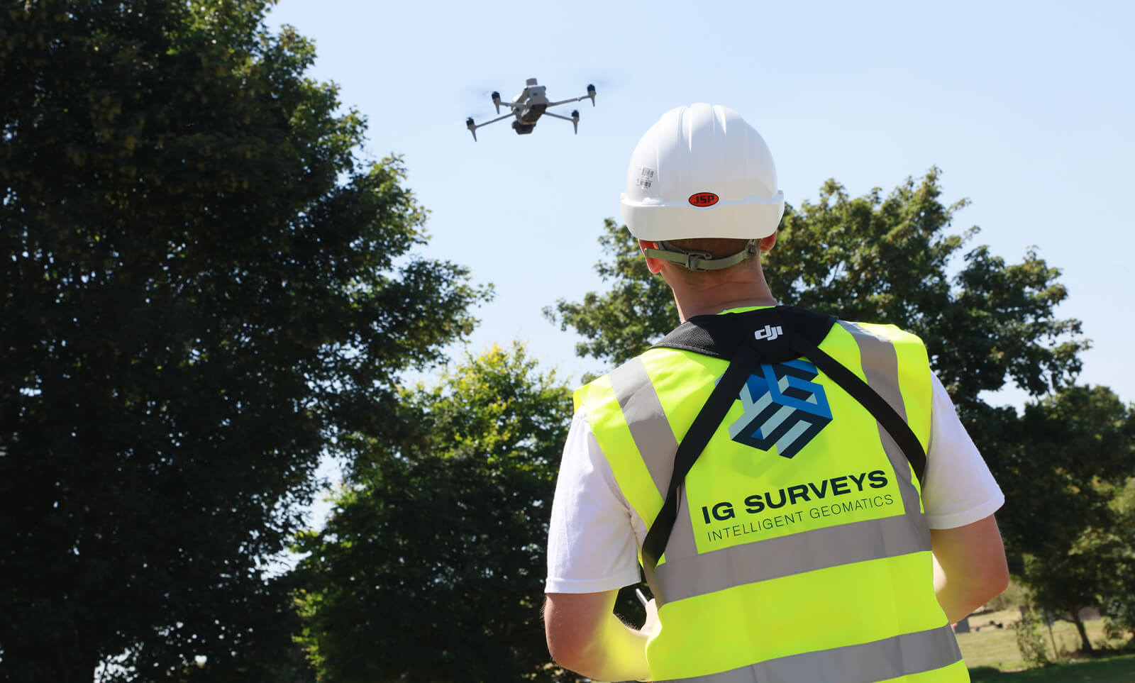
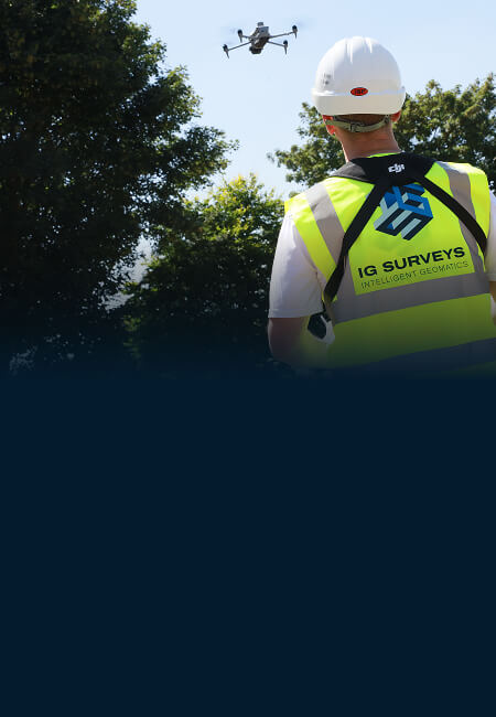
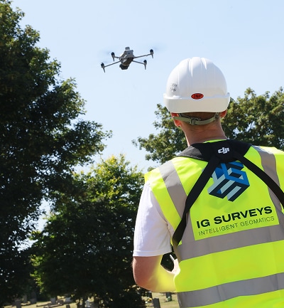
Drone and aerial surveys
Using state-of-the-art drone technology, our aerial mapping team can capture high-resolution data of almost any site regardless of size or complexity, helping you plan with clarity, design with confidence and build with ease.


Why choose IG Surveys?
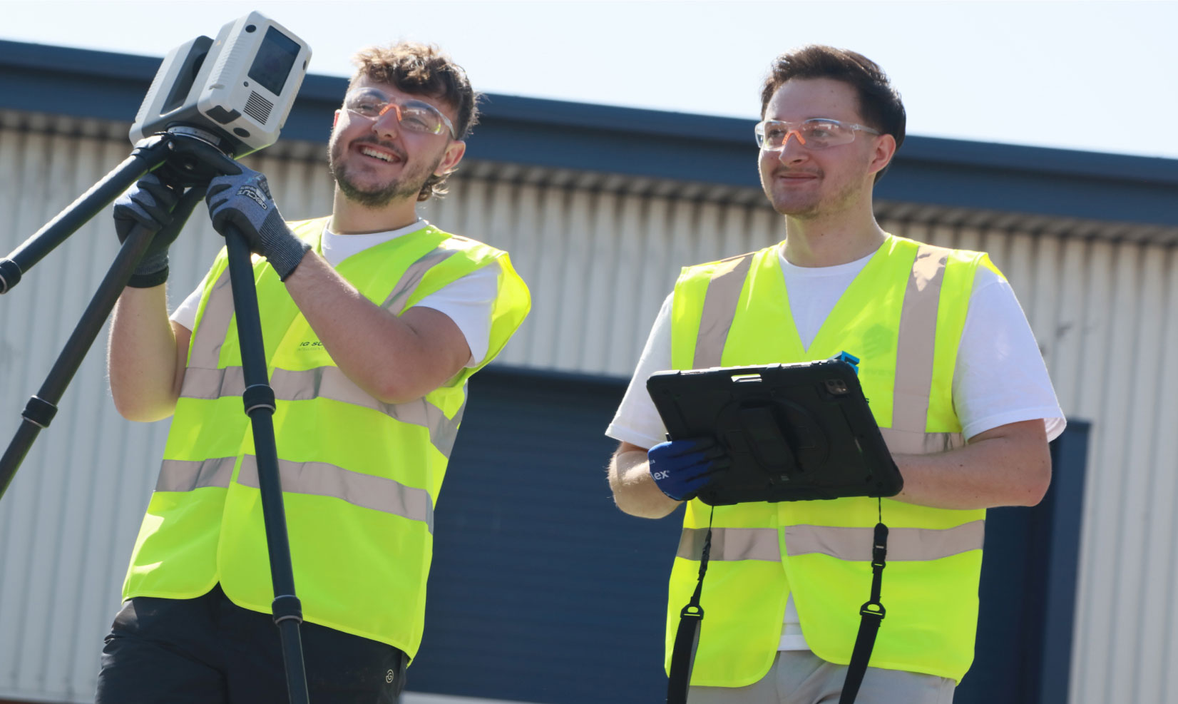
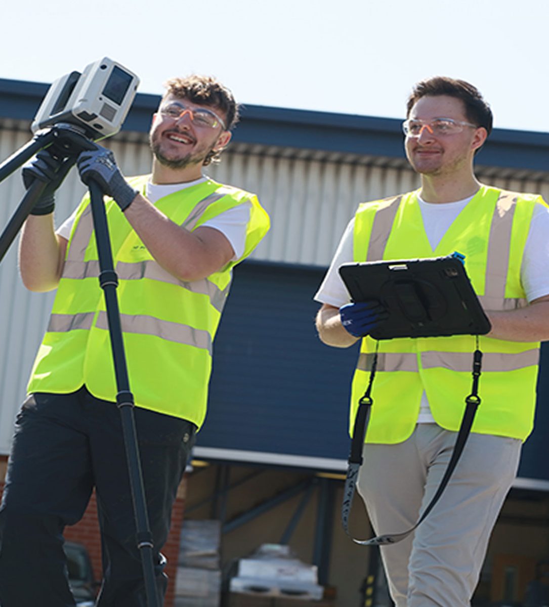
Our clients trust us, not only because we make complex data feel straightforward – or because we communicate both clearly and proactively – but because of the quality, accuracy, and speed of our drone surveys. From tracking site progress to accessing hard-to-reach areas, our drone and aerial mapping service provides reliable insight to support every stage of your project.
Deliverables
Depending on your requirements, we can supply a range of deliverables including…
- Orthomosaic maps of your site
- 3D terrain or surface models
- Digital elevation models
- High-resolution aerial imagery and photography
- Periodic or progress monitoring imagery
All outputs are delivered in the format you prefer and are fully compatible with your preferred CAD, BIM or GIS systems.


"Our projects are design-led and often complex, so the accuracy of survey data is critical to what we do."
IG Surveys delivered exactly what was needed – precise, detailed and clearly presented information that integrated effortlessly into our design workflow. Their team operated professionally and efficiently on site, and the final deliverables gave us total confidence moving forward with the project. IG Surveys have proven to be a reliable partner for high-quality design and construction work.

Chris Trunkfield, Senior Design Executive
IG Surveys delivered exactly what was needed – precise, detailed and clearly presented information that integrated effortlessly into our design workflow. Their team operated professionally and efficiently on site, and the final deliverables gave us total confidence moving forward with the project. IG Surveys have proven to be a reliable partner for high-quality design and construction work.


FAQs
-
Depending upon your requirements you might receive detailed orthomosaic images, 3D surface models and/or high-resolution aerial photography of your site.
-
Drone and aerial surveys are used to capture high-resolution imagery and mapping data for construction, planning, and site monitoring purposes.
-
Drone surveys can achieve centimetre-level accuracy, which is more than sufficient for most design, planning and monitoring applications.
-
Yes, we can provide regular aerial progress updates to help track and manage your project visually.
-
Yes, all our drone operations are carried out by licensed pilots with the required Civil Aviation Authority (CAA) permissions.
-
Yes, we can integrate drone-captured data with other survey information such as topographical or laser scanning results.
-
Yes, we provide drone survey services nationwide, covering sites across England, Scotland and Wales.
-
Yes, drones are perfect for large, remote or difficult-to-access areas where traditional surveying would be time-consuming.
Our services
We provide a full range of surveying services to support the full lifecycle of your projects, from initial site assessments right through to as-built verification. The result of decades of field and processing expertise, our workflows are streamlined for accuracy, efficiency, and fast turnaround times.
-
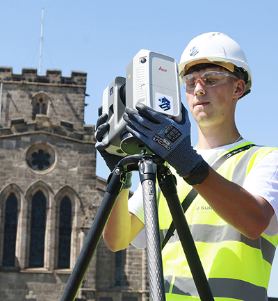
Topographical Surveys
Topographical
SurveysAccurate, detailed mapping of land and site features, perfect for planning, design and more. We capture every contour, level and boundary to give you a clear picture of your site.

-
Measured Building Surveys
Measured Building Surveys
High-resolution surveys that capture the true detail of your building, inside and out. We deliver floor plans, elevations, sections and 3D models that fit seamlessly into your workflow.
-
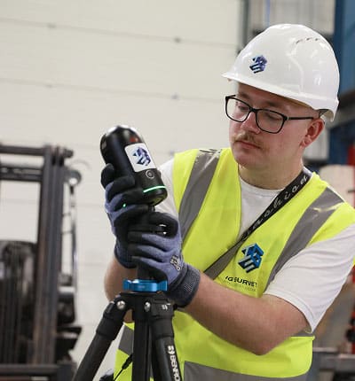
3D Laser Scanning
3D Laser
ScanningFor projects where precision really matters, our laser scanning service captures millions of data points to create accurate digital representations of structures and spaces.
-
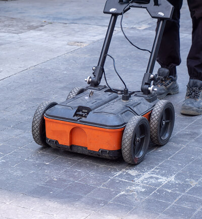
Utility Surveys
Utility
SurveysWorking to PAS128 standards, we trace and map underground utilities, revealing what lies beneath and helping you proceed with confidence.
-
Drone and Aerial Surveys
Drone and Aerial Surveys
Our UAV and aerial mapping survey teams capture high-resolution data of your site, whether it’s an open plot, a complex roof or a large construction area.
-
360° Virtual Tours
360° Virtual Tours
Our immersive 360° virtual tours give clients, designers and stakeholders instant remote access to buildings, spaces and construction sites.


Speak to one of our experts today
We help clients across the UK turn complex sites into clear, reliable data. Whether you need a single survey or full multi-discipline support, our team is ready to help.