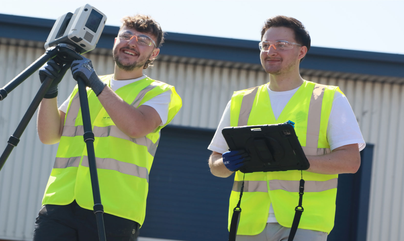
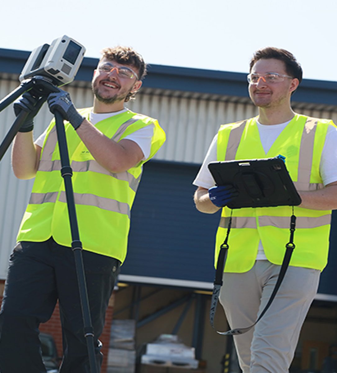
Utility surveys
Understanding what’s beneath the ground is every bit as important as what’s above it. That’s why our PAS 128 compliant utility surveys help you plan and build with confidence by identifying and mapping buried services before any excavation or construction begins.


Revealing what lies beneath
Working closely with our specialist utility mapping partners, we help our clients locate underground utilities with ease, presenting the results clearly, and giving them the information they need to make confident, informed decisions about their projects.
How we work
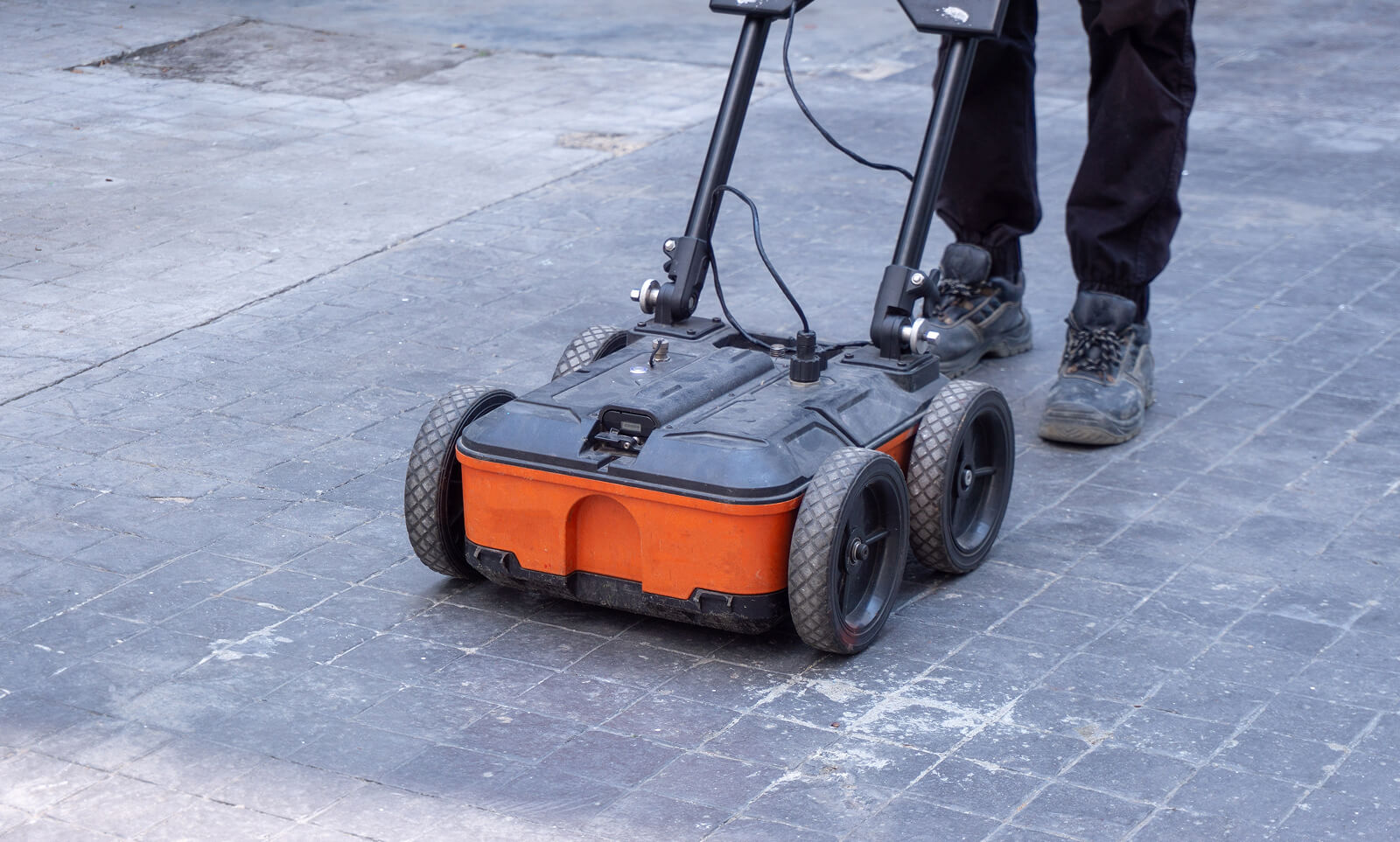
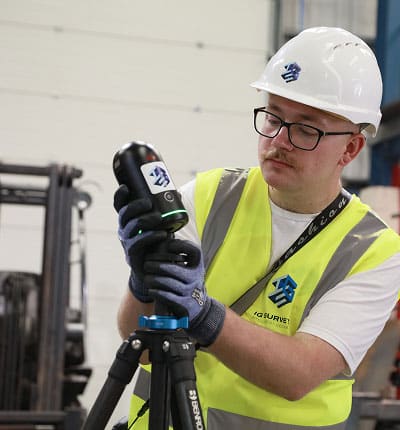
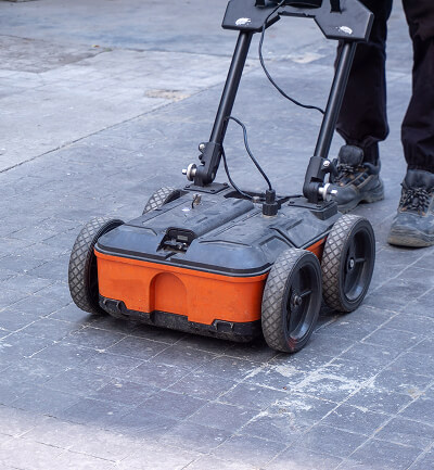
Working to the globally recognised PAS 128 standard for utility detection and mapping, we start by getting to grips with your project and the level of information required before obtaining the statutory undertakers records for your area. We then manages the process from start to finish, coordinating with our partners who use electromagnetic detection (EML) and ground penetrating radar (GPR) to trace both metallic and non-metallic services.
All data is carefully reviewed, verified and combined with our topographical survey information where required, giving you a comprehensive picture of the site. The end result is a clear, accurate record of what lies below the surface, helping you plan effectively and avoid costly surprises.

PAS 128 compliant utility surveys


Why choose IG Surveys?
When you’re breaking ground on site, clarity matters. That’s why, here at IG Surveys, we make sure you’re fully informed about what lies below so you can plan, build and act safely and with certainty.
We work closely with carefully selected partners and manage the process end to end, guaranteeing a seamless service from start to finish. No matter what level of survey you require or how complex your site, you’ll always know what’s happening, when you’ll get results, and exactly what they mean for your project.
Our clients appreciate how we strike the balance between technical insight and practical support – we don’t just deliver data, we make it straightforward, easy to understand and ready to use from day one. From complex infrastructure schemes to minor groundworks, we apply the same commitment to accuracy, communication and personal service to every project.
Utility survey deliverables
Whilst our deliverables are all designed to comply with the requirements of the PAS 128 standard, we pride ourselves on our ability to tailor our drawings and reports to the needs of every project.
From simple on-site mark-ups to detailed reports and comprehensive location plans overlaid onto topographic surveys, our deliverables present the results of our utility surveys clearly and intuitively.


"Our projects are design-led and often complex, so the accuracy of survey data is critical to what we do."
IG Surveys delivered exactly what was needed – precise, detailed and clearly presented information that integrated effortlessly into our design workflow. Their team operated professionally and efficiently on site, and the final deliverables gave us total confidence moving forward with the project. IG Surveys have proven to be a reliable partner for high-quality design and construction work.

Chris Trunkfield, Senior Design Executive
IG Surveys delivered exactly what was needed – precise, detailed and clearly presented information that integrated effortlessly into our design workflow. Their team operated professionally and efficiently on site, and the final deliverables gave us total confidence moving forward with the project. IG Surveys have proven to be a reliable partner for high-quality design and construction work.


FAQs
-
A utility survey identifies and maps underground services like electricity, gas, water and telecoms to help you plan safely before excavation or construction begins.
-
PAS 128 is the British standard for underground utility detection. Compliance ensures surveys are carried out to a defined and verifiable level of accuracy, will follow a predetermined methodology, and will include certain pieces of information.
-
Survey time depends on the site size and density of services, but the majority of projects can be completed within a few days.
-
Yes, we operate across the UK, carrying out PAS 128 compliant utility surveys nationwide.
-
Yes, it’s best to carry out a utility survey before any excavation or site work begins to avoid costly delays or damage.
-
In short, no. Whilst our utility survey teams are extremely competent and experienced, utility mapping surveys cannot guarantee the detection of all underground services. Although modern techniques such as Ground Penetrating Radar (GPR), Electromagnetic Location (EML) and record-based verification greatly improve accuracy, several factors can still limit what can be found.
Ground conditions have a major influence, as dense clay, saturated soil or highly conductive ground can reduce the effectiveness of radar signals. Weather can also have an impact, particularly heavy rain or surface water. The depth and size of the buried services matter too, as smaller or deeper utilities may fall below the detection range of certain methods.
Other challenges include non-conductive materials, such as some plastic pipes, incomplete or inaccurate records, and interference from nearby metal structures or congested sites.
A good survey will combine different techniques, skilled interpretation and existing data to provide the most accurate results possible. However, it is important to recognise that no survey can ever guarantee 100% detection.
-
Yes, we can combine utility mapping with topographical and measured building surveys to provide a complete site picture.
Our services
We provide a full range of surveying services to support the full lifecycle of your projects, from initial site assessments right through to as-built verification. The result of decades of field and processing expertise, our workflows are streamlined for accuracy, efficiency, and fast turnaround times.
-
Topographical Surveys
Topographical
SurveysAccurate, detailed mapping of land and site features, perfect for planning, design and more. We capture every contour, level and boundary to give you a clear picture of your site.

-
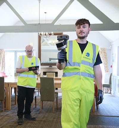
Measured Building Surveys
Measured Building Surveys
High-resolution surveys that capture the true detail of your building, inside and out. We deliver floor plans, elevations, sections and 3D models that fit seamlessly into your workflow.
-
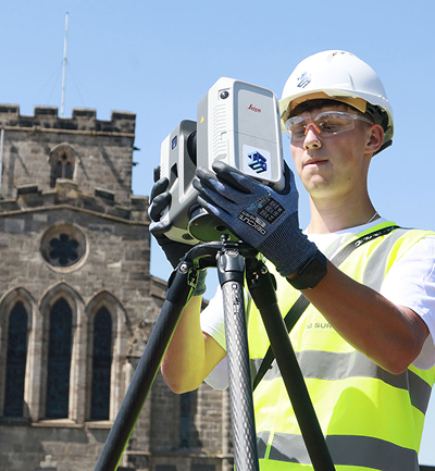
3D Laser Scanning
3D Laser
ScanningFor projects where precision really matters, our laser scanning service captures millions of data points to create accurate digital representations of structures and spaces.
-
Utility Surveys
Utility
SurveysWorking to PAS128 standards, we trace and map underground utilities, revealing what lies beneath and helping you proceed with confidence.
-
Drone and Aerial Surveys
Drone and Aerial Surveys
Our UAV and aerial mapping survey teams capture high-resolution data of your site, whether it’s an open plot, a complex roof or a large construction area.

-
360° Virtual Tours
360° Virtual Tours
Our immersive 360° virtual tours give clients, designers and stakeholders instant remote access to buildings, spaces and construction sites.


Speak to one of our experts today
We help clients across the UK turn complex sites into clear, reliable data. Whether you need a single survey or full multi-discipline support, our team is ready to help.