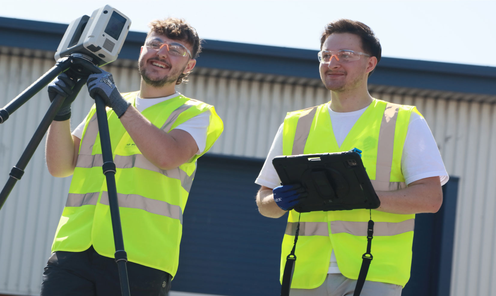
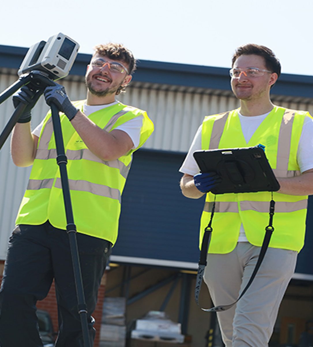
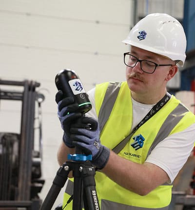
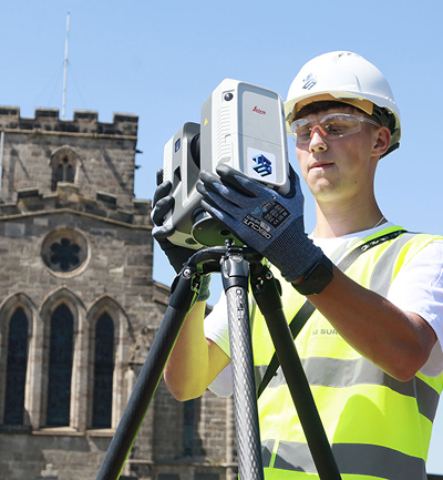
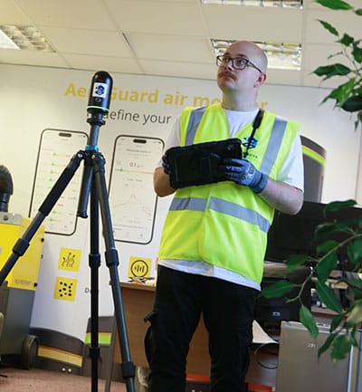
3D laser scanning
Delivered nationwide, our 3D laser scanning services provide the high definition data you need to make truly informed decisions about your sites. By capturing millions of precise measurements, we create detailed digital representations that form the foundation for design, modelling and analysis.


High definition surveying
Whether you’re planning a refurbishment, managing a large development or documenting an existing structure, our 3D laser scanning services provide the accuracy and clarity you need, and all whilst reducing time and improving safety out on site.
How we work
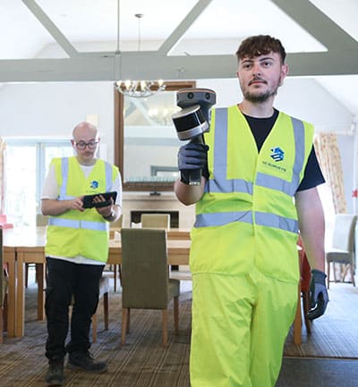
Every project starts with a clear understanding of your goals and and exactly what you’re looking to get out of your survey. With that in place, our experienced survey team plans each scan carefully in order to guarantee every last detail is captured in the most efficient way possible.
Compared to more traditional survey methods, laser scanning requires significantly less time on site, despite capturing significantly more information in the process. That means faster data capture, fewer safety risks and less disruption to ongoing work, not to mention a vast point cloud of data that can be reviewed long into the future, eliminating return visits and keeping unnecessary costs to a minimum.
Once the scan data is processed, our delivery team provide clear, accurate outputs that fit seamlessly into your workflow, from 2D drawings to fully detailed 3D and BIM models.

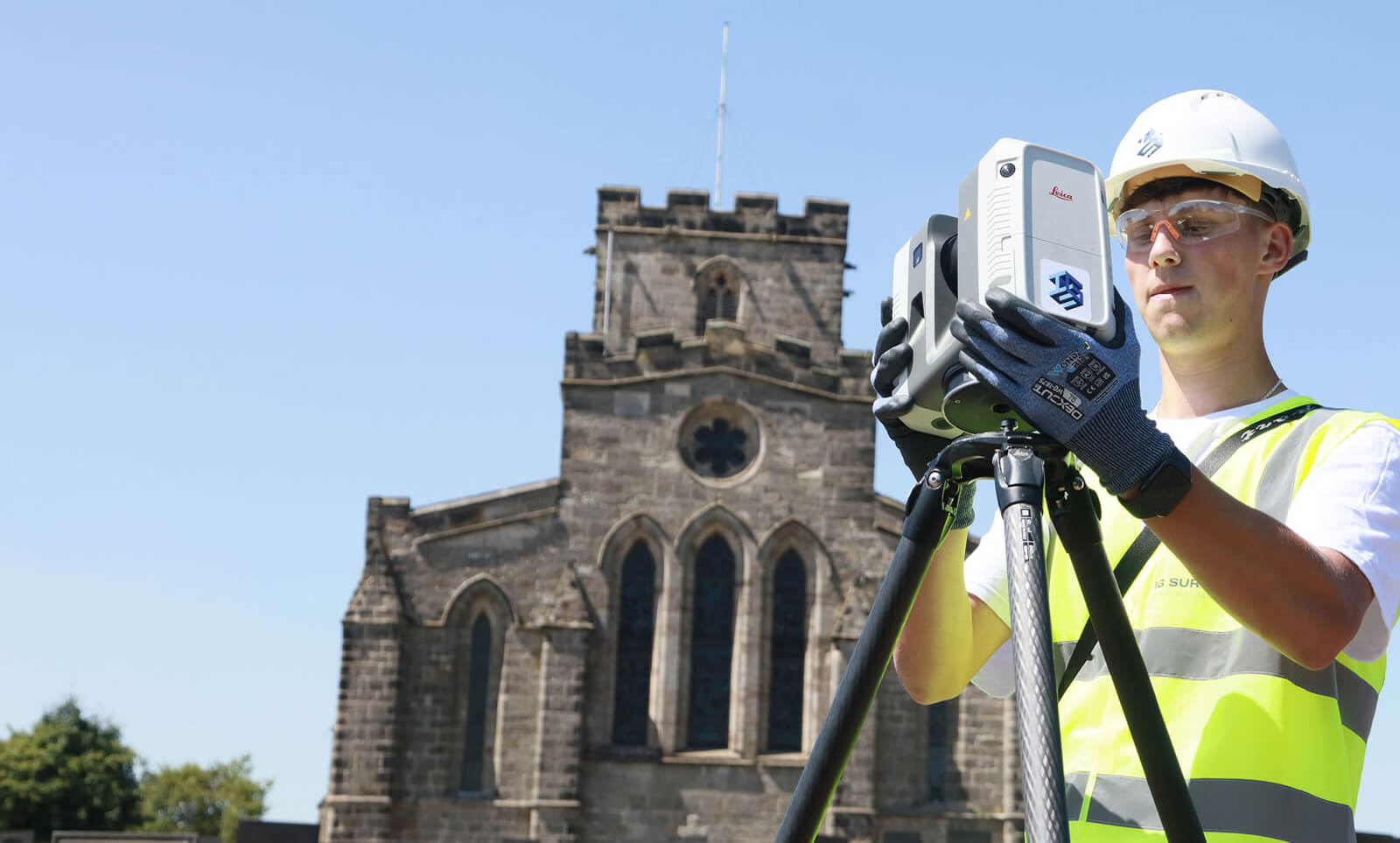
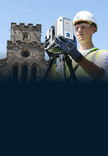
3D laser scanning specialists based in Leicestershire


Why choose IG Surveys?
Accuracy, efficiency and clarity are at the heart of everything we do at here IG Surveys, which is exactly why our clients trust us to turn complex laser scan data into clear, actionable information.
From the moment we make contact we take the time to understand what you need and why you need it, planning every scan to perfection, making sure capture exactly what’s required. And, whether we’re scanning a single structure, a large commercial site or a complex heritage project, we bring the same care and attention to every site.
As well as being experts in our field, however, we’re also approachable, responsive and great at communicating. You won’t need to chase for updates or ask for clarification – instead we’ll keep the conversation flowing, making the whole process as straightforward and enjoyable as possible.
Laser scanning deliverables
We can provide a wide range of outputs depending on your needs, including…
- 3D point clouds
- 2D plans, elevations and sections
- BIM-ready 3D models
- Mesh models and textured surfaces
- Deformation or movement analysis
All data is processed, aligned and quality checked before delivery to ensure complete accuracy and consistency.


"Our projects are design-led and often complex, so the accuracy of survey data is critical to what we do."
IG Surveys delivered exactly what was needed – precise, detailed and clearly presented information that integrated effortlessly into our design workflow. Their team operated professionally and efficiently on site, and the final deliverables gave us total confidence moving forward with the project. IG Surveys have proven to be a reliable partner for high-quality design and construction work.

Chris Trunkfield, Senior Design Executive
IG Surveys delivered exactly what was needed – precise, detailed and clearly presented information that integrated effortlessly into our design workflow. Their team operated professionally and efficiently on site, and the final deliverables gave us total confidence moving forward with the project. IG Surveys have proven to be a reliable partner for high-quality design and construction work.


FAQs
-
3D laser scanning is used to capture precise, high-resolution data of buildings, structures and landscapes. It’s ideal for creating accurate 3D models for design, analysis and documentation.
-
Yes, 3D laser scanning can be carried out both indoors and outdoors, even in challenging environments.
-
3D laser scanning offers extremely high accuracy, typically within a few millimetres, making it one of the most reliable survey methods available. For more information on accuracy levels please contact our team.
-
Yes, we operate nationwide and can provide 3D laser scanning services anywhere in the UK.
-
Yes, we can combine laser scanning with topographical, measured building or drone surveys for a complete dataset.
-
Most laser scanning projects can be completed within one to three days, depending on the scale and detail required.
-
Yes, 3D laser scanning is ideal for construction projects where precision and documentation are essential.
-
We provide 3D point clouds, mesh models, 2D plans, elevations and detailed surface analyses, depending on your requirements.
Our services
From our HQ near Birmingham, we travel throughout the country, providing a range of surveying services to support the full lifecycle of your projects. From initial site assessments as-built verification, our workflows are streamlined for rapid response, accuracy, and efficiency.
-
Topographical Surveys
Topographical
SurveysAccurate, detailed mapping of land and site features, perfect for planning, design and more. We capture every contour, level and boundary to give you a clear picture of your site.

-
Measured Building Surveys
Measured Building Surveys
High-resolution surveys that capture the true detail of your building, inside and out. We deliver floor plans, elevations, sections and 3D models that fit seamlessly into your workflow.
-
3D Laser Scanning
3D Laser
ScanningFor projects where precision really matters, our laser scanning service captures millions of data points to create accurate digital representations of structures and spaces.
-
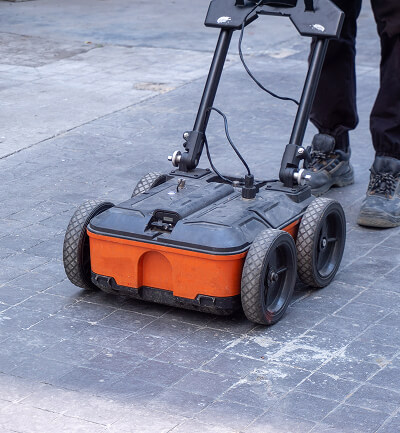
Utility Surveys
Utility
SurveysWorking to PAS128 standards, we trace and map underground utilities, revealing what lies beneath and helping you proceed with confidence.
-
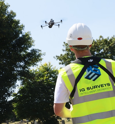
Drone and Aerial Surveys
Drone and Aerial Surveys
Our UAV and aerial mapping survey teams capture high-resolution data of your site, whether it’s an open plot, a complex roof or a large construction area.
-
360° Virtual Tours
360° Virtual Tours
Our immersive 360° virtual tours give clients, designers and stakeholders instant remote access to buildings, spaces and construction sites.
-
Asset Management & Digital Estates
Asset Management and Digital Estates
Giving you a clearer, more connected view of your buildings, sites and infrastructure, helping you understand what you have, where it is, what condition it’s in and how best to manage it.


Speak to one of our experts today
We help clients across the UK turn complex sites into clear, reliable data. Whether you need a single survey or full multi-discipline support, our team is ready to help.