Asset management and digital estates
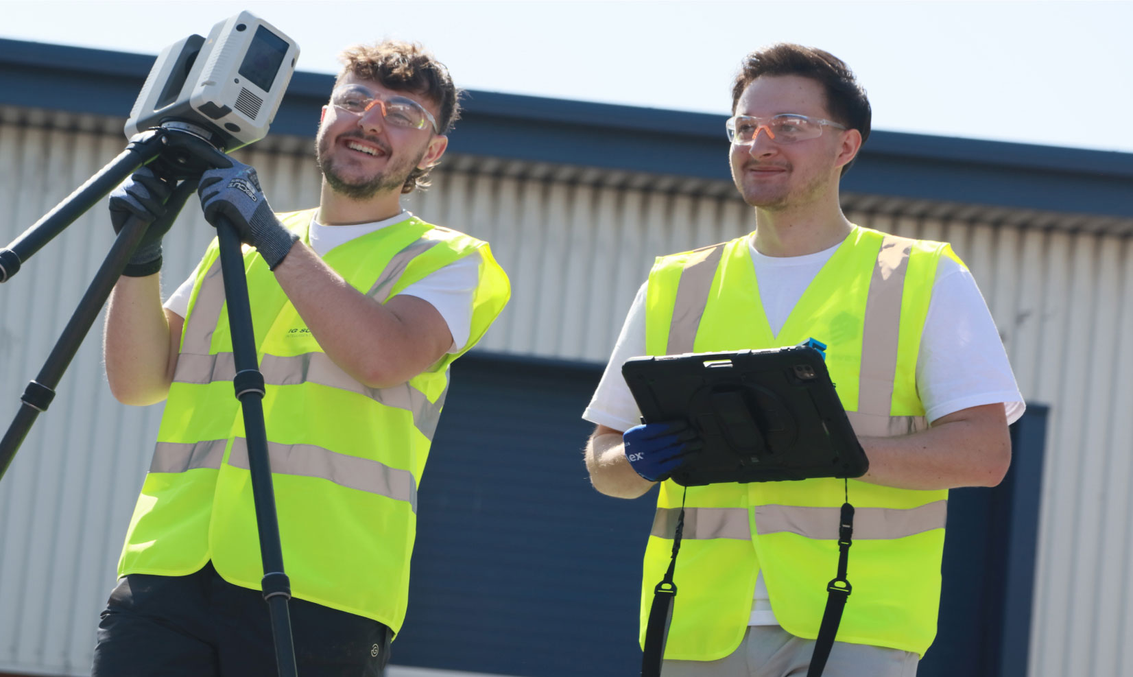
Our asset management and digital estates service gives you a clearer, more connected view of your buildings, sites and infrastructure, helping you understand what you have, where it is, what condition it’s in and how best to manage it.


Why choose IG Surveys?
Good estate management depends on reliable information. At IG Surveys, we combine survey accuracy with practical digital outputs, helping clients turn buildings, sites and infrastructure into clear, usable information that supports day-to-day management and long-term planning.
We understand that every estate is different. Some clients need a full digital twin, while others need an improved asset register, updated floor plans, condition information or a more accessible way to view building documentation. Our approach is flexible, allowing us to build a solution around the way your team already works.
By bringing survey data, asset information, drawings, imagery and documentation together, we help reduce uncertainty and improve access to the information that matters. Your team can view spaces remotely, check room data, locate assets, review maintenance records, access compliance information and make more informed decisions about the buildings you manage.
Whether you’re looking to create a digital record of an existing estate, improve the quality of your asset data or develop a more interactive way to manage building information, our team will help you capture and structure the right information from the start.
Deliverables
Our experienced survey and processing teams can adapt deliverables to suit your estate, your systems and the way your teams need to access information. Outputs can be supplied in a range of formats and structured to support CAD, BIM, facilities management and asset management workflows.
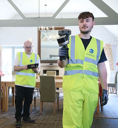
- Interactive building walkthroughs
- Digital twin and digital estate platforms
- Asset registers and asset schedules
- Room data, room names and floor areas
- Building documentation and linked records
- Maintenance records and service information
- Compliance information
- Condition survey data
- Floor plans, drawings and elevations
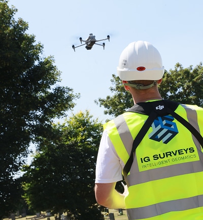
- Drone imagery and aerial models
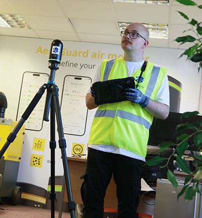
- 3D point clouds and point cloud integration
- BIM-ready models and digital estate models
- 360° imagery and visual site records
All information is processed, checked and presented with clarity, giving you a dependable digital record that can be used across your estate long after the initial survey has been completed.


"From the outset, their communication and professionalism were first-class."
The team arrived fully prepared, worked efficiently on site, and delivered the final drawings well within the agreed timescale. The quality and accuracy of the survey data exceeded our expectations, giving us complete confidence in using it as the foundation for our design work. The attention to detail and clarity of the finished drawings have been invaluable to our project team.

Damian Finnie, Head of Technical Specification

The team arrived fully prepared, worked efficiently on site, and delivered the final drawings well within the agreed timescale. The quality and accuracy of the survey data exceeded our expectations, giving us complete confidence in using it as the foundation for our design work. The attention to detail and clarity of the finished drawings have been invaluable to our project team.


FAQs
-
Reliable digital estate data gives you a clearer view of your assets, helping you plan maintenance, manage refurbishments, improve compliance, reduce unnecessary site visits and make more informed long-term decisions.
-
A digital estate is a structured digital record of your buildings, spaces and assets. A digital twin goes a step further by creating a more connected digital representation that can be updated, analysed and used to monitor or understand performance over time.
-
Yes. We can review and build on your existing drawings, asset lists, BIM models, maintenance records or facilities management information, then fill in the gaps with accurate survey data where needed.
-
The best method depends on the site and the information required. We can use 3D laser scanning, measured building surveys, drone surveys, photography, 360° capture and other survey techniques to create a complete and reliable digital record.
-
We can tailor deliverables to suit your workflow, including CAD drawings, PDF plans, point clouds, 3D models, BIM-ready files, spreadsheets, asset schedules and visual digital environments.
-
Yes. Our approach can be scaled to suit anything from a single building to a multi-site estate. We’ll agree the level of detail, priorities and delivery format before work begins, so the final output is practical and cost-effective.
-
Yes. Digital estate information can be updated as buildings change, assets are replaced or new survey data becomes available. This helps keep your records current and useful throughout the life of the estate.
-
Yes. Building documentation, maintenance records, compliance information and other important records can be linked within the digital platform, helping your team keep key information organised and easier to access.
-
Yes. Drone imagery and aerial models can be included where useful, particularly for larger sites, roof areas, external assets, infrastructure, land, access routes and wider estate planning.
-
Yes. Point cloud data captured through 3D laser scanning can be integrated into the wider digital estate record, providing a highly accurate survey foundation for drawings, models, measurements and future project work.
-
Yes. Room names, room numbers, floor areas and other space information can be included within the digital estate platform, drawings or asset schedules, depending on how you need to use the data.
-
Yes. We can capture and structure asset information into clear registers or schedules. These can include asset locations, references, condition information, maintenance details and other data needed by your estates or facilities teams.
-
Yes. Condition survey data can be captured and added to the digital record, giving you a clearer understanding of building condition and helping support maintenance, refurbishment and investment planning.
-
A digital twin allows your team to continue accessing and using building information long after the survey work has finished. It can help with maintenance planning, asset management, compliance, refurbishment projects, remote site reviews and long-term estate decision-making.
-
A digital twin is an interactive digital version of a building, site or estate. It can bring together survey data, floor plans, asset information, room data, imagery, documentation, maintenance records and compliance information in one accessible platform.
Our services
We provide a full range of surveying services to support the full lifecycle of your projects, from initial site assessments right through to as-built verification. The result of decades of field and processing expertise, our workflows are streamlined for accuracy, efficiency, and fast turnaround times.
-
Topographical Surveys
Topographical
SurveysAccurate, detailed mapping of land and site features, perfect for planning, design and more. We capture every contour, level and boundary to give you a clear picture of your site.

-
Measured Building Surveys
Measured Building Surveys
High-resolution surveys that capture the true detail of your building, inside and out. We deliver floor plans, elevations, sections and 3D models that fit seamlessly into your workflow.
-
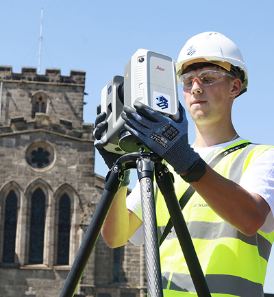
3D Laser Scanning
3D Laser
ScanningFor projects where precision really matters, our laser scanning service captures millions of data points to create accurate digital representations of structures and spaces.
-
Utility Surveys
Utility
SurveysWorking to PAS128 standards, we trace and map underground utilities, revealing what lies beneath and helping you proceed with confidence.

-
Drone and Aerial Surveys
Drone and Aerial Surveys
Our UAV and aerial mapping survey teams capture high-resolution data of your site, whether it’s an open plot, a complex roof or a large construction area.
-
360° Virtual Tours
360° Virtual Tours
Our immersive 360° virtual tours give clients, designers and stakeholders instant remote access to buildings, spaces and construction sites.
-
Asset Management & Digital Estates
Asset Management and Digital Estates
Giving you a clearer, more connected view of your buildings, sites and infrastructure, helping you understand what you have, where it is, what condition it’s in and how best to manage it.


Speak to one of our experts today
We help clients across the UK turn complex sites into clear, reliable data. Whether you need a single survey or full multi-discipline support, our team is ready to help.