360° virtual tours & site visuals
A 360° virtual tour lets you explore your surroundings from the comfort of your own home or office. We create immersive, high-quality visuals that give clients, designers and stakeholders instant remote access to buildings, spaces and construction sites no matter where they are.


Bringing your projects to life, virtually
A 360 degree virtual tour from IG Surveys is a powerful way to view existing conditions, monitor progress or showcase completed work, all without setting foot on site. By turning real-world spaces into interactive digital experiences, we make it easier for everyone involved to understand, plan and communicate with clarity.
How we work
Every project starts with a conversation about what you’d like to achieve. Whether you need a simple internal walkthrough or a fully linked visual record of a large development, we’ll plan your tour to suit your goals and level of detail.
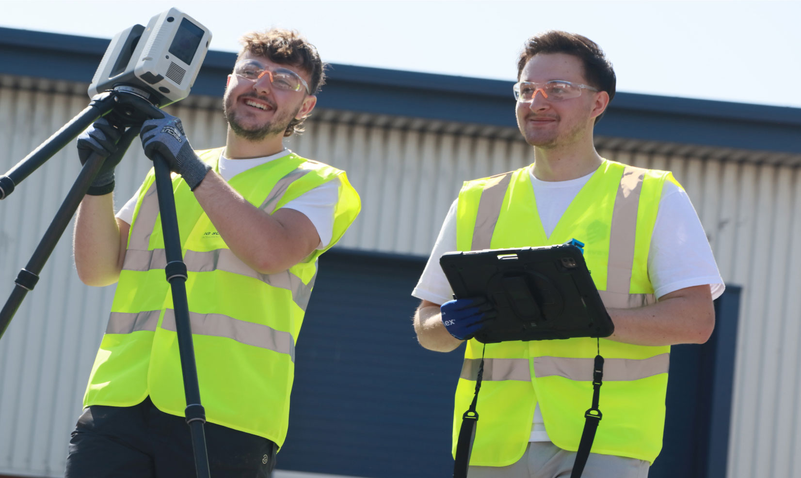
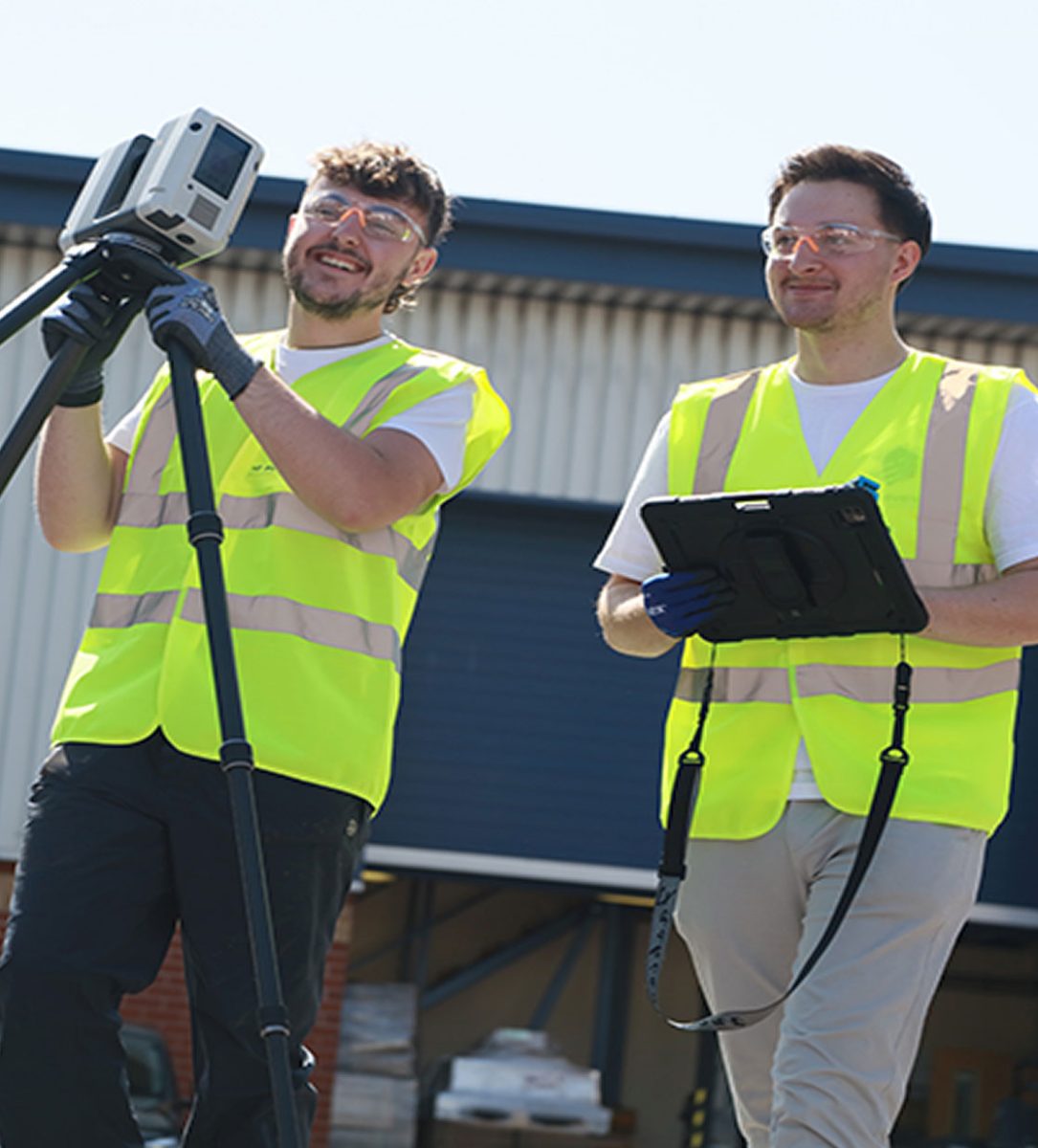
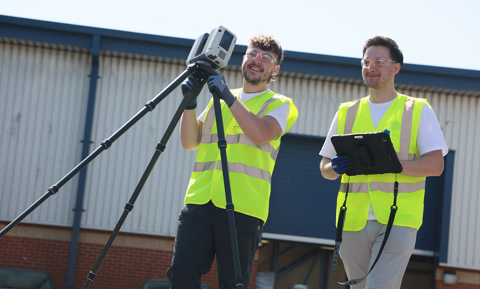
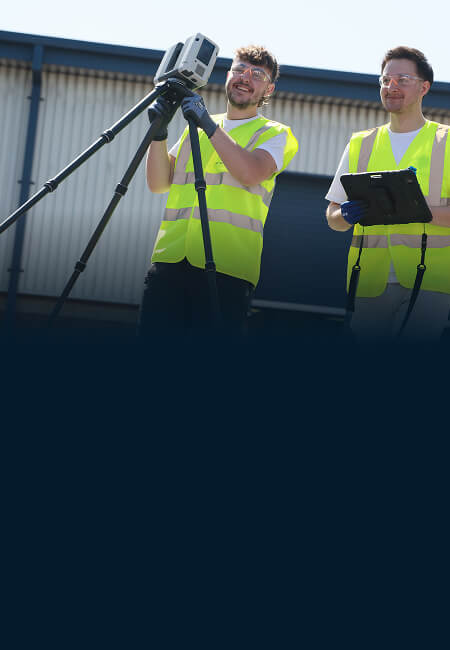
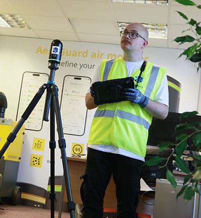
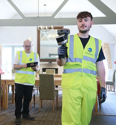
Our team captures high-resolution imagery quickly and safely, with minimal disruption on site. Once captured, the images are processed, aligned and stitched together into an intuitive, interactive tour that can be explored on any device. Viewers can zoom, pan and move freely through the space, and we can embed drawings, photos, hotspots, or notes directly into the tour for extra context.
Tours can be shared securely via a private link or hosted within your own project portal, giving teams and clients easy access whenever they need it.

360 degree virtual tours and site visuals
Applications
Our fully interactive 360° virtual tours and site visuals are ideal for a whole host of different applications, including…
- Remote site access and familiarisation
- Condition recording and documentation
- Construction progress monitoring
- Facilities management and handover
- Marketing and client presentations
- Estate agency and property walk throughs


Why choose IG Surveys?
At IG Surveys, we combine technical accuracy with creative presentation to make your sites and spaces easy to understand. We take the time to learn what matters to you, then build tours that are practical, engaging and simple to use.
Not only are we approachable, responsive and easy to work with, our clients also appreciate how we make state of the art technology and complex data feel straightforward. In fact, from the moment we first make contact we’ll take care of everything, from planning and data capture to modelling and hosting, making sure the entire process feels seamless from start to finish.
Whether you need a clear visual record for construction, a progress update for stakeholders or a virtual walkthrough to showcase your property or project, we’ll help you bring your project to life… virtually.
Deliverables
When it comes to 360 degree virtual tours, typical deliverables can include…
- Fully interactive 360° walkthroughs
- Linked floor plans and panoramic viewpoints
- Hotspots for drawings, photos or notes
- Integration with survey data, drone maps and 3D models
- Secure online hosting and sharing
Each tour is produced to suit your project and level of detail, whether for record-keeping, client updates or marketing.


"From the outset, their communication and professionalism were first-class."
The team arrived fully prepared, worked efficiently on site, and delivered the final drawings well within the agreed timescale. The quality and accuracy of the survey data exceeded our expectations, giving us complete confidence in using it as the foundation for our design work. The attention to detail and clarity of the finished drawings have been invaluable to our project team.

Damian Finnie, Head of Technical Specification

The team arrived fully prepared, worked efficiently on site, and delivered the final drawings well within the agreed timescale. The quality and accuracy of the survey data exceeded our expectations, giving us complete confidence in using it as the foundation for our design work. The attention to detail and clarity of the finished drawings have been invaluable to our project team.


FAQs
-
360° virtual tours are used to create an immersive, interactive view of your site, allowing stakeholders or potential customers to explore and assess spaces remotely.
-
Production time varies depending on site size, but most virtual tours are ready within a few days of capture.
-
We capture visuals using high-definition 360° cameras on-site, creating a seamless virtual walkthrough.
-
Yes, we operate nationwide and can capture virtual tours anywhere in the UK.
-
Yes, we specialise in producing 360° virtual tours for construction, industrial and commercial environments as well as residential properties.
-
Yes, we can integrate virtual tours with survey data, BIM models and project documentation for full site context.
-
Yes, you can securely share your 360° tour online with clients, colleagues and project teams.
-
Yes, all virtual tours are hosted securely and can be password-protected to maintain privacy.
Our services
We provide a full range of surveying services to support the full lifecycle of your projects, from initial site assessments right through to as-built verification. The result of decades of field and processing expertise, our workflows are streamlined for accuracy, efficiency, and fast turnaround times.
-
Topographical Surveys
Topographical
SurveysAccurate, detailed mapping of land and site features, perfect for planning, design and more. We capture every contour, level and boundary to give you a clear picture of your site.

-
Measured Building Surveys
Measured Building Surveys
High-resolution surveys that capture the true detail of your building, inside and out. We deliver floor plans, elevations, sections and 3D models that fit seamlessly into your workflow.
-
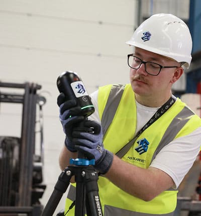
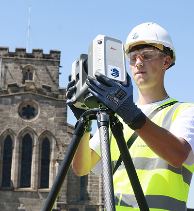
3D Laser Scanning
3D Laser
ScanningFor projects where precision really matters, our laser scanning service captures millions of data points to create accurate digital representations of structures and spaces.
-
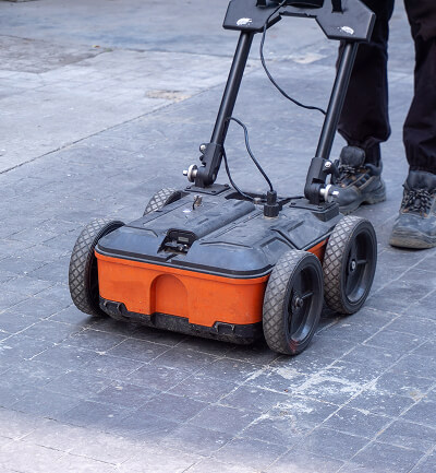
Utility Surveys
Utility
SurveysWorking to PAS128 standards, we trace and map underground utilities, revealing what lies beneath and helping you proceed with confidence.
-
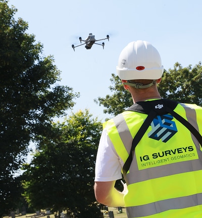
Drone and Aerial Surveys
Drone and Aerial Surveys
Our UAV and aerial mapping survey teams capture high-resolution data of your site, whether it’s an open plot, a complex roof or a large construction area.
-
360° Virtual Tours
360° Virtual Tours
Our immersive 360° virtual tours give clients, designers and stakeholders instant remote access to buildings, spaces and construction sites.
-
Asset Management & Digital Estates
Asset Management and Digital Estates
Giving you a clearer, more connected view of your buildings, sites and infrastructure, helping you understand what you have, where it is, what condition it’s in and how best to manage it.


Speak to one of our experts today
We help clients across the UK turn complex sites into clear, reliable data. Whether you need a single survey or full multi-discipline support, our team is ready to help.